Derived data product DEA Land Cover

Learn about our ever-changing land
Digital Earth Australia (DEA) Land Cover translates over 30 years of satellite imagery into evidence of how Australia's land, vegetation and waterbodies have changed over time
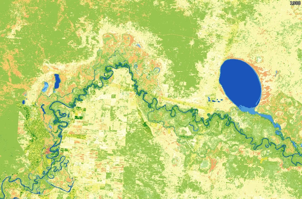
See how the Murray River and its surrounds vary over three decades at the intersection of New South Wales, Victoria and South Australia

Land cover data can support sustainable farming practices, water resource management, soil erosion prevention, forest management, and more

With over 80 descriptive classes available, see Australia's land cover from the past three decades in extraordinary detail
Why map land cover?
Take a walk through DEA Land Cover
Learn about our ever-changing land with DEA Land Cover, which translates over 30 years of satellite imagery into evidence of Australia's land, vegetation and waterbodies have changed over time. Visit DEA Maps
Related resources

Our land and vegetation products suite
DEA Land Cover, DEA Fractional Cover, and DEA surface reflectance imagery provide new perspectives on critical Australian environments

Join our community
Slack for support
Ask questions of the many data and spatial analysts, developers and scientists managing and experimenting with DEA data
Express your interest
Got a project that needs a big picture? We’re open to collaborative projects with government, industry and communities that serve Australia’s future.
Get our newsletter
Stay informed of new products, seminars and learning opportunities from DEA and our partners